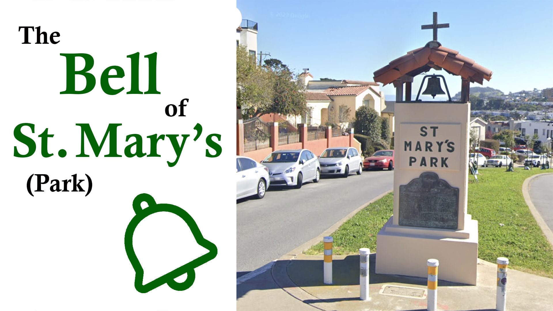
The Bell of St. Mary's (Park)
One San Francisco neighborhood has a design best appreciated from above.
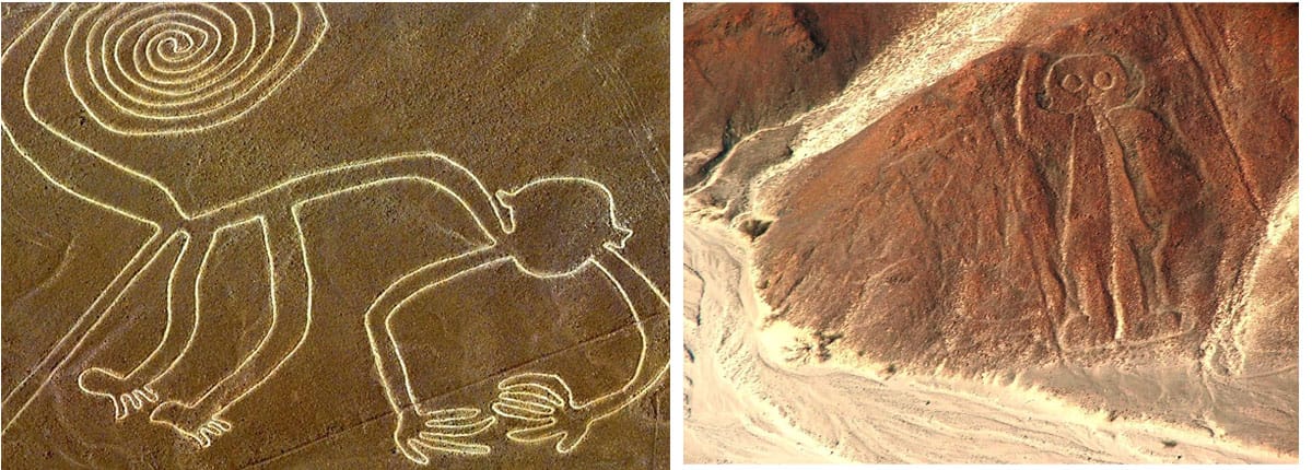
I probably learned about the Nazca lines in Peru from an In Search Of episode in the 1970s. This was the heyday of “ancient alien” theories. Massive drawings scratched in the Peruvian desert—giant spiders, hummingbirds, and big-headed humanoids—could only be properly appreciated from the air, so obviously E.T.s had something to do with them. I ate that stuff up as a 10-year-old.
San Francisco has its own only-from-the-air (or on a map) geoglyph. Although not on the scale or majesty of the Nazca lines, the St. Mary’s Park neighborhood has an interesting story and a colorful (if terrestrial) creator.
St. Mary’s Park is celebrating its 100th anniversary this year. Laid out on the southeast side of Mission Street between the Bernal Heights and Excelsior neighborhoods, it has grassy medians and gently curving streets lined with stucco homes. It’s also shaped like a bell:
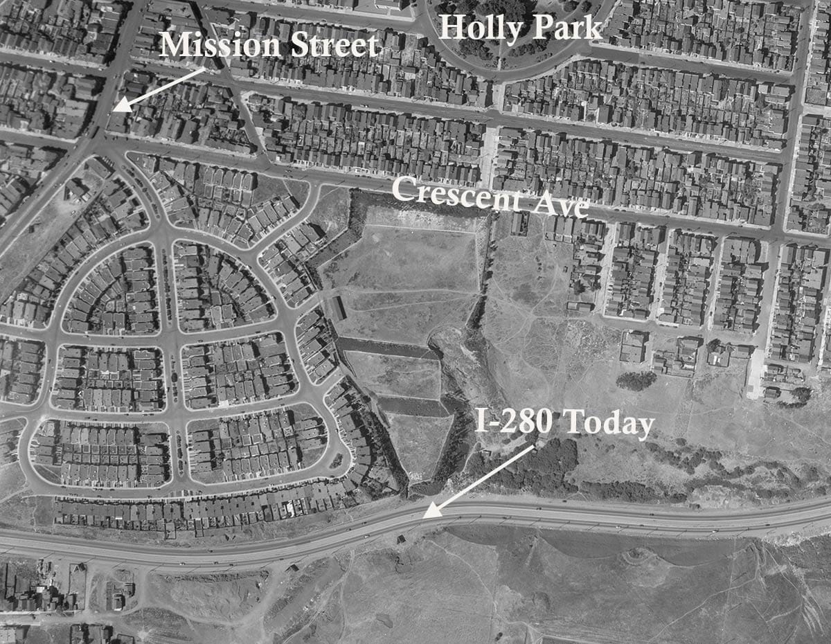
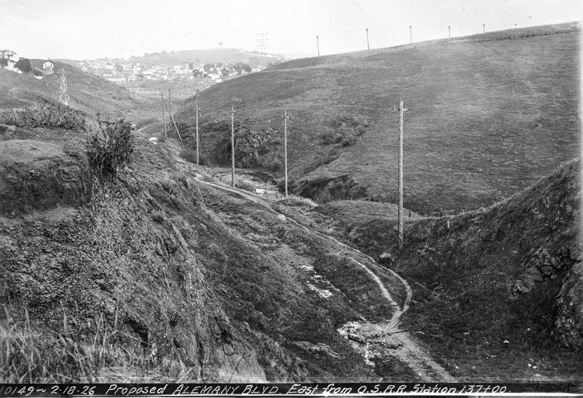
The bell of St. Mary’s honors a college by the same name that once occupied the land, founded in the 1860s when the city’s southern neighborhoods were artichoke fields, dairies, tanneries, and grassy gullies.
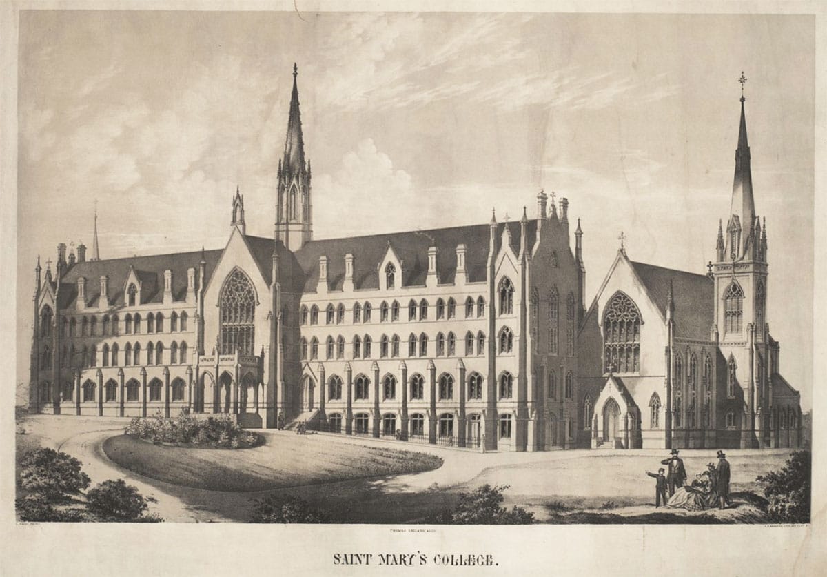
Roman Catholic archbishop Joseph Alemany bought 60 acres of land from Jesus Bernal for $1,600 and laid the cornerstone for St. Mary’s College on August 3, 1862. The campus ended up with some fairly large Gothic buildings designed by architect Thomas England:
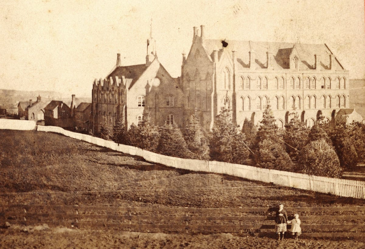
After 26 years in the San Francisco countryside, St. Mary’s moved to the warmer climes of Oakland in 1889, and eventually to the wooded hills of Moraga, California, where it still is today.
The old college buildings in San Francisco were used for various purposes by the archdiocese, including the creation of St. John’s parish.
The city finally grew into its southern fields with the go-go house-building boom of the 1920s. There was money to be made and the archbishop decided to subdivide and sell the old college campus.
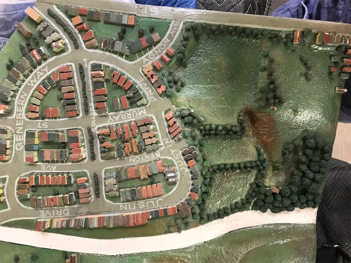
The bell street plan was long credited as the work of Mark Daniels, one of my favorite landscape architects (OK, I only know the names of like three landscape architects, but still…)
Daniels wrote a lot of essays on his craft and comes off as creative, humorous, and pretentiously arty. He designed the Forest Hill neighborhood with a giant staircase to nowhere, did a bit of work on the ritzy Sea Cliff development (from his resume you’d think it was all his idea), and when he got the plumb job of being the National Park Service’s first superintendent, spent most of his short tenure trying to redesign the ranger uniform.*
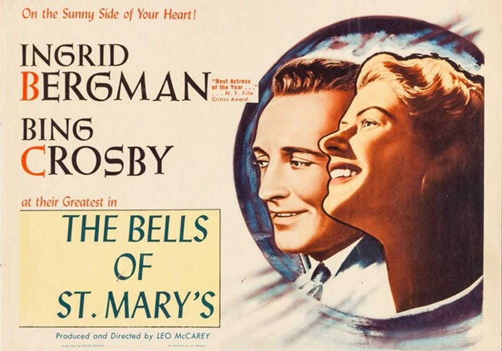
Turns out Daniels may not have been the designer of the street grid for the archbishop’s new neighborhood, but whomever was likely was inspired by the popular song, “The Bells of St. Mary’s,” published in 1917. (You may know it from Bing Crosby’s rendition and his 1945 movie of the same name, a Christmas-time staple on television.)
Street names—College Avenue, Justin, Genebern, Agnon—also honored the old school and some of the earliest administrators.
Work went fast in the 1920s, when everyone was building and seemingly everyone was buying. The archdiocese contracted with architects Punnet & Parez—old hands in the residence-park business—to create an entry gate and the sales office building in January 1924. (John M. Punnet could have been responsible for the bell-shaped plan, assuming it wasn't Daniels.)
The street plan for St. Mary’s Park was adopted by the Board of Supervisors in February 1924. The official opening announcement for the new development came in April. By August 2, 1924, one hundred houses were under construction.
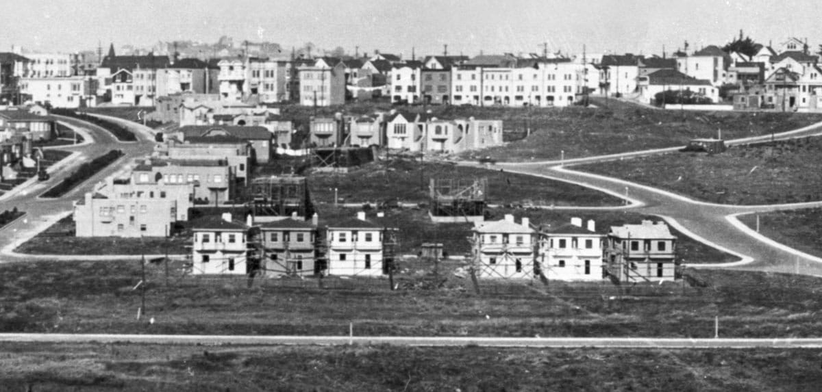
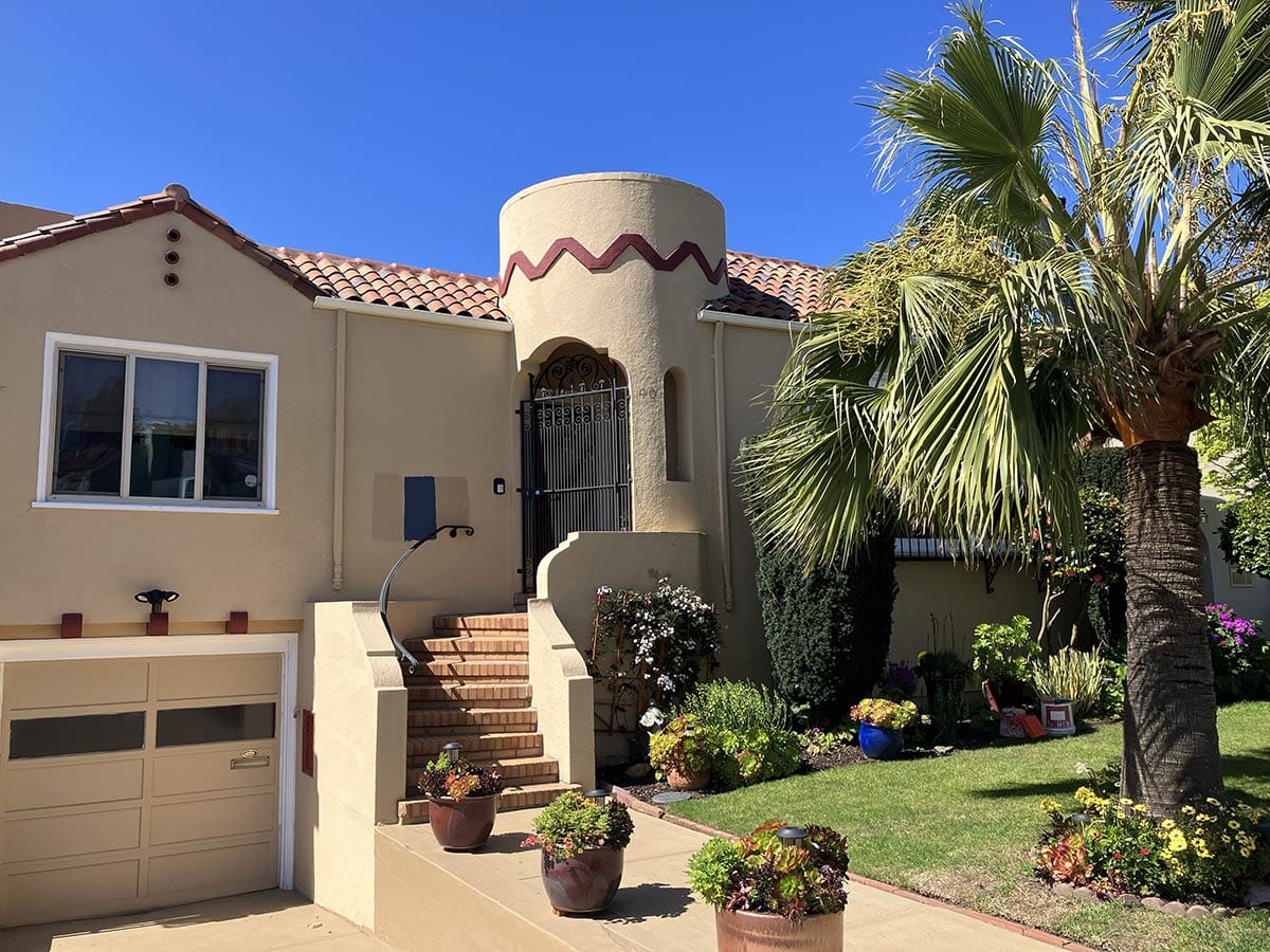
A variety of experienced developers bought sections of St. Mary’s Park on speculation and constructed the popular Mediterranean Revival style tract homes that were simultaneously going up in the Sunset District, West of Twin Peaks, and Marina Districts. The prodigiously productive architect C. F. Strothoff, who specialized in stucco bungalows, designed the first residences.
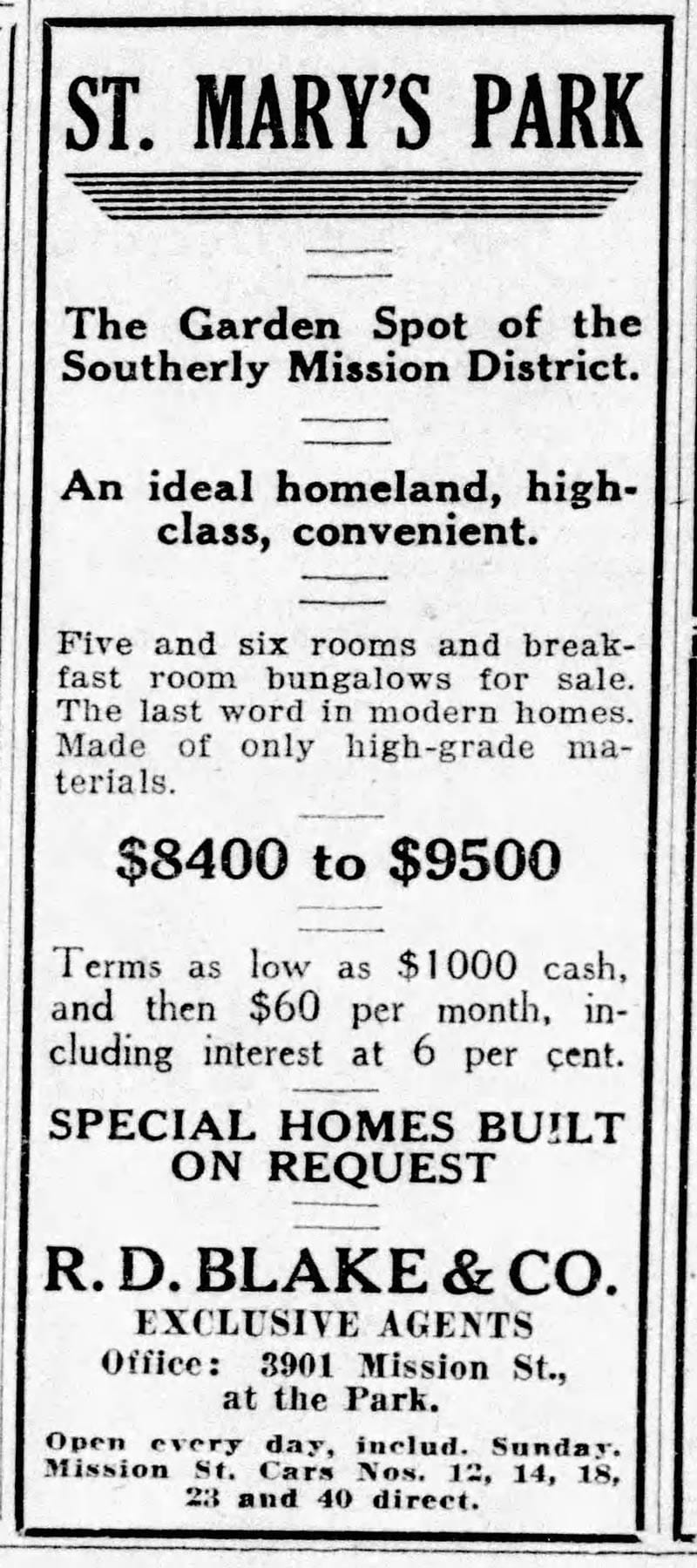
Working under one sales agent (R. D. Blake & Co.), F. W. Varney, Gordon W. Morris, the Stoneson Brothers, the Meyer Brothers (who had Miraloma Park), all took their bite of St. Mary’s Park.
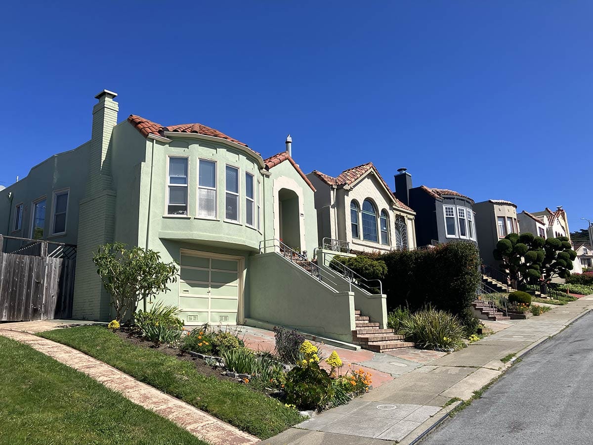
That an architectural cohesion was achieved within the bell speaks either to the tract’s well-crafted design guidelines or the follow-the-herd business plan of the mid 1920s developers. The mindset was generally build what sells—fast—and move on to the next job.
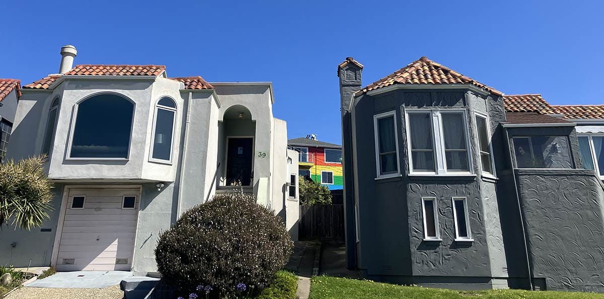
Despite having multiple builders, as a master-planned “residence park,” St. Mary’s had construction restrictions so residents could enjoy perks like front set-backs, breathing space between homes, and no overhead wires.
Residence parks also typically had racist covenants prohibiting occupancy or ownership by minorities, deed restrictions which were not made illegal until the 1940s. Did the archdiocese let such discrimination fly? I haven’t done the research yet, but probably.
Coming from the urban grit of outer Mission Street and dipping into the well-maintained loop of St. Mary's Park is refreshing and strange. Here is the definition of an enclave.
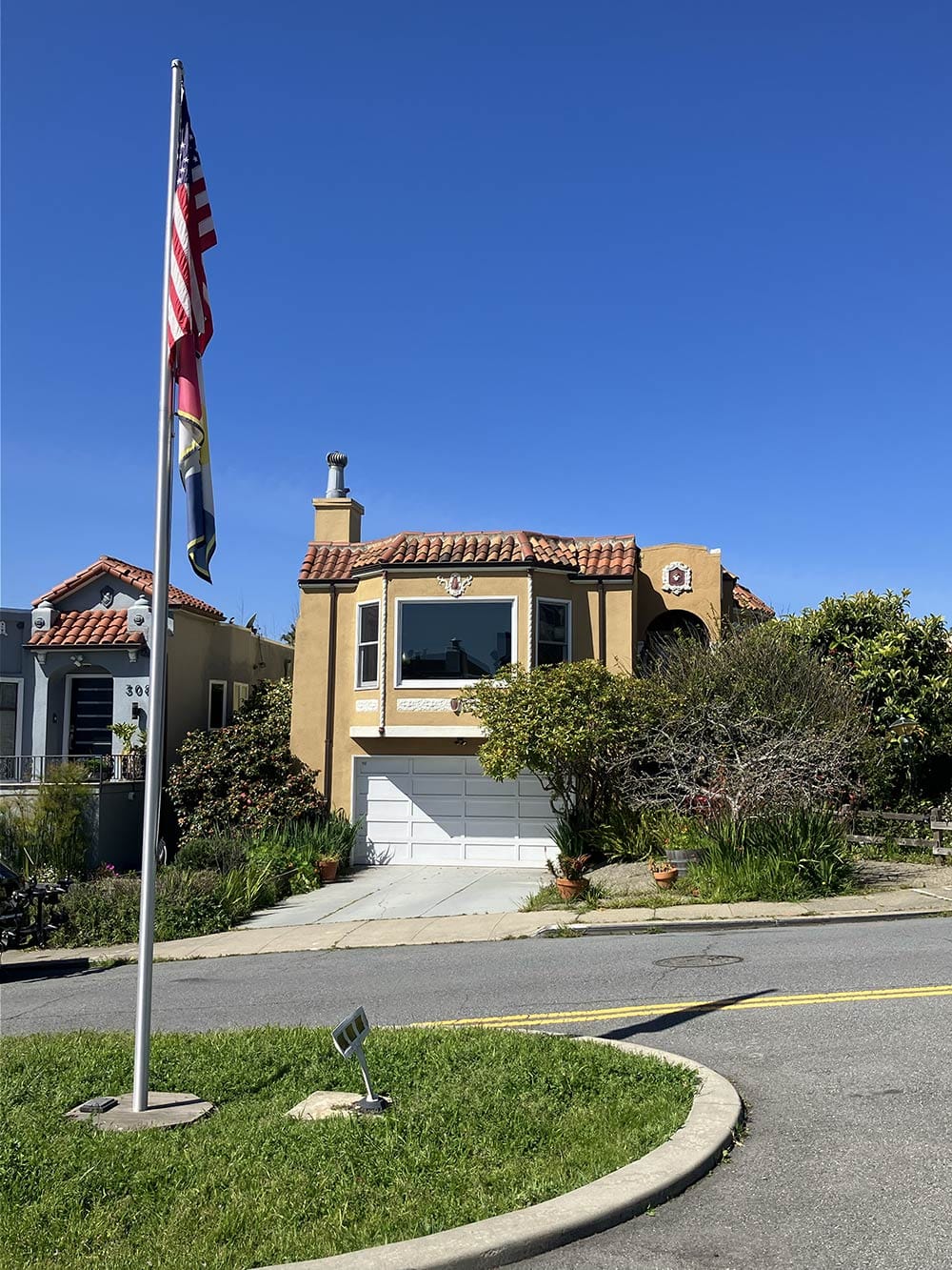
The broad, grassy median of College Avenue has a pole flying the American flag and, just below, a yellow, blue, red, and white one emblazoned with the neighborhood name.
How many neighborhoods have a flag pole? It is otherworldly, if not alien.
* Daniels admittedly did some other good stuff while leading NPS, including recommending not having a landscape architect run the nation’s parks.
Woody Beer and Coffee Fund
I may be in the max-beverage-consumption era of my life and I am loving it. (This city is a great one for cafes and bars and interesting people to talk to, as you all know.) Thanks to all who chip in to keep me sociable. Is it your turn? Let me know when you are free!
Sources
“Building Contracts,” The Recorder, January 12, 1924, pg. 6.
“Old Spanish Grant to Be Converted into Home Tract,” San Francisco Examiner, April 5, 1924, pg. 6.
“100 Homes Are Being Built in St. Mary’s Park,” San Francisco Bulletin, August 2, 1924, pg. 6.
St. Mary’s Park Improvement Club website
50 Justin Drive by David Otero and Tami Bobb
Nikki Collister, St. Mary’s Development (FoundSF)

